How Truckee Neighborhoods Connect To Trails And Outdoors
June 11, 2026
June 11, 2026
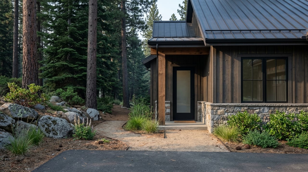
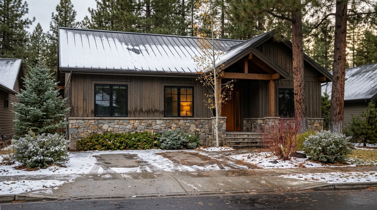
If you want a home in Truckee, the trail connection often matters just as much as the floor plan. In this market, many buyers are not just asking how close a property is to town or skiing. They also want to know how easily they can step outside for a walk, bike ride, or weekend adventure. This guide will help you understand how Truckee neighborhoods connect to trails and outdoor access, so you can better match your home search to the lifestyle you want. Let’s dive in.
One of the best ways to think about Truckee is as a set of connected outdoor corridors, not just separate trailheads. The Town of Truckee’s Trails and Bikeways Master Plan calls for more than 35 miles of paved trails and 60 miles of bike lanes within town.
The town also says it currently maintains 12.5 miles of high-use trail segments. Those include the Legacy Trail, Trout Creek Trail, Brockway Road Trail, Gray’s Crossing area trails, Pioneer Center area trails, the Mousehole Trail, and Joerger Ranch Trail. For you as a buyer, that means trail access in Truckee is often built into everyday living.
That connection also shows up in how people use the system. In Truckee Trails Foundation’s 2023 survey, the Legacy Trail, Trout Creek Trail, and Martis Valley trail were the top three paved favorites. That is a strong sign that many residents value routes that connect homes to downtown, trailheads, and resort-adjacent areas.
Tahoe Donner is one of the clearest examples of a neighborhood built around year-round recreation. The community says it includes nearly 6,500 properties across 7,300 acres in Truckee, with a network that includes the Alder Creek Adventure Center, Glacier Way Trailhead, Bermgarten Trailhead, and the New Trout Creek Trail trailhead.
If you want a neighborhood where trails are part of daily life, Tahoe Donner stands out. The paved Trout Creek Trail is a key connector here. Tahoe Donner says it is a 1.5-mile one-way paved route into downtown Truckee, which gives you a practical option for walking or biking toward town.
There is also strong access to dirt-trail terrain nearby. The Truckee Donner Land Trust says the Donner Lake Rim Trail starts on Northwoods Boulevard across from the Trout Creek trail access and the paved route that connects to downtown. That gives west Truckee buyers a mix of paved convenience and bigger mountain trail options.
This is an important detail if you are comparing neighborhoods. Tahoe Donner says the trails around Alder Creek Adventure Center are open in summer for hiking, biking, and equestrian use.
In winter, some access changes. The ski-boundary area becomes fee-based and is limited to skis and snowshoes, while the Glacier Way and Sunrise Bowl area remain free only if travel stays outside the cross-country ski boundary. Tahoe Donner’s cross-country center also says it offers more than 100 km of trails and four warming huts.
For buyers, that means Tahoe Donner can offer excellent recreation access, but not every trail works the same way year-round. It is smart to understand which routes are public, which are HOA-managed, and which have seasonal rules.
If your ideal day starts with a walk, jog, or bike ride without loading up the car, downtown Truckee and the river corridor deserve a close look. The Truckee River Legacy Trail is the strongest downtown-to-east-Truckee connector.
The Town of Truckee says the long-term plan is for the Legacy Trail to connect Donner Memorial State Park to the Glenshire neighborhood, with most of the route paralleling the Truckee River. Truckee Donner Land Trust says the current completed stretch runs between Glenshire and Truckee River Regional Park, just east of downtown, while the town notes that remaining work includes Phase 4B.
The town’s visitor information describes the Legacy Trail as a scenic route for walking, jogging, or biking. It also specifically tells Tahoe Donner visitors to use the Trout Creek Trail to reach downtown Truckee, which shows how these paved routes work together as part of one larger system.
For buyers looking near central or east Truckee, the town-maintained network adds everyday convenience. The town maintains Brockway Road Trail, Pioneer Center area trails, Gray’s Crossing area trails, Mousehole Trail, and Joerger Ranch Trail.
That matters because several residential areas sit near maintained public trail segments rather than requiring a separate drive to start your outing. If your priority is easy daily movement, these neighborhoods can be a strong match.
West Truckee has a different outdoor identity. If you picture ridge hikes, lake views, and quick access to higher-elevation terrain, Donner Lake and Donner Summit are often part of that conversation.
The Donner Lake Rim Trail is the signature dirt-trail system here. Truckee Donner Land Trust describes it as a planned 23-mile loop around Donner Lake. Public sources differ on how much is currently complete and open, so the best takeaway is that a substantial portion of the trail is already available and continues to be a major west-side outdoor asset.
Trailheads are part of what makes this area appealing. Truckee Trails Foundation identifies Glacier Way Trailhead in Tahoe Donner, Johnson Canyon off the Donner Lake Interchange, and Donner Summit and Pacific Crest Trail access as entry points. The Land Trust also says the trail can be reached from Tahoe Donner’s Glacier Way trailhead and from the Trout Creek connection.
The west side also benefits from close access to ski terrain. Donner Ski Ranch is located on Donner Pass Road in Norden on Donner Summit, and Sugar Bowl Resort says it is on Donner Summit just west of Truckee.
For some buyers, that combination matters a lot. You may want dirt trails in summer, mountain scenery year-round, and quick drives to skiing in winter. This part of Truckee tends to line up well with that kind of four-season routine.
East Truckee has a more resort-adjacent feel, with a mix of bike paths, loop routes, and trail connections that can surprise buyers who only think of the area as a drive-to-ski base. Martis Creek Trail is a good example.
Truckee Trails Foundation says Martis Creek Trail circles Martis Valley west of Highway 267, connects with the Tompkins Memorial Trail for loop options, and can be reached from the airport and wildlife-viewing area off Brockway Road. That gives you a more open valley setting with flexible route choices.
The paved side is important too. The Martis Valley Bike Path to Northstar connects Truckee through Martis Valley and Northstar Village up to Brockway Summit. Truckee Trails Foundation’s 2023 survey also highlighted the completed paved route to Northstar Drive as one of the region’s favorite newer paths.
Northstar California is physically located in Truckee, and the broader trail network nearby is more connected than many first-time buyers expect. Truckee Trails Foundation says the Big Chief Trail connects the Sawtooth trail in Sierra Meadows with Watson Lake and the Tahoe Rim Trail through Northstar land.
The foundation also says it has built close to 35 miles of new trail in recent years, with major work in Waddle Ranch and the Sawtooth Zone. For you, that means east-side neighborhoods can offer both paved convenience and meaningful dirt-trail access nearby.
Some buyers want quick trail access but do not necessarily want to live inside a large HOA. In that case, the in-between corridor west and south of downtown can be worth a look.
Truckee Trails Foundation says the Commemorative Overland Emigrant Trail parallels Alder Creek Drive for about 3 miles and can be accessed from Donner Camp or the Prosser Creek Bridge depending on conditions. It is a useful example of how open-space access shows up outside the most talked-about resort-style neighborhoods.
Sawtooth Trail is another key route in this part of Truckee. The foundation describes it as a 9-mile loop with overlooks into the Truckee River Canyon and connections to the Mt. Watson trail network. If you want a more natural, less built-up feel while staying relatively close to town, these areas may deserve more attention in your search.
The right neighborhood often depends on how you actually plan to use the outdoors. A buyer who wants daily paved walks and bike rides may prioritize different streets and communities than someone looking for ridge access, technical singletrack, or quick ski days.
Here is a simple way to think about the fit:
This is where local guidance matters. Two homes may be similar on paper, but their trail access, winter logistics, and day-to-day outdoor convenience can feel very different once you know the area.
Trail access is a major perk in Truckee, but it comes with shared-use responsibility. The Town of Truckee asks trail users to follow common etiquette, including yielding rules and respect for adjacent homes.
That matters even more in neighborhoods that border popular routes. It is also worth remembering that not all access is public and not all access stays the same year-round. Some routes are town-maintained public infrastructure, while others are HOA-managed or seasonal.
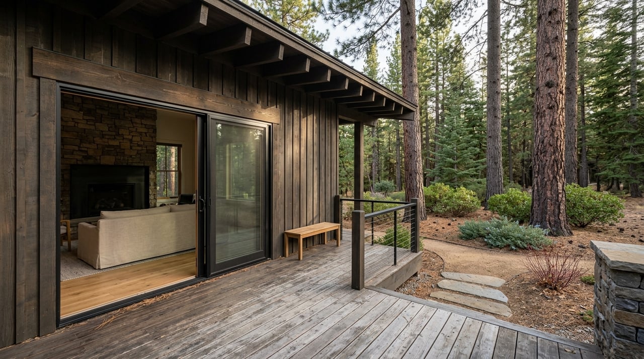
When you are buying or selling in Truckee, neighborhood lifestyle is not just about a map pin. It is about how a home connects to the way you want to live, whether that means walking to a paved path after work, biking into town, or heading straight to a dirt trail on a summer morning.
That kind of detail is where local market knowledge helps. If you want help comparing trail-connected neighborhoods, understanding seasonal access, or finding the right fit for your lifestyle goals, reach out to Seth Waller.

Contact Seth today to learn more about his unique approach to real estate and how he can help you get the results you deserve.
ADDRESS 17400 Northwoods Blvd Ste 104 Truckee CA 96161