The Donner Lake Rim Trail Is Half a Ring, and Tahoe Donner Holds One End
October 22, 2026
October 22, 2026
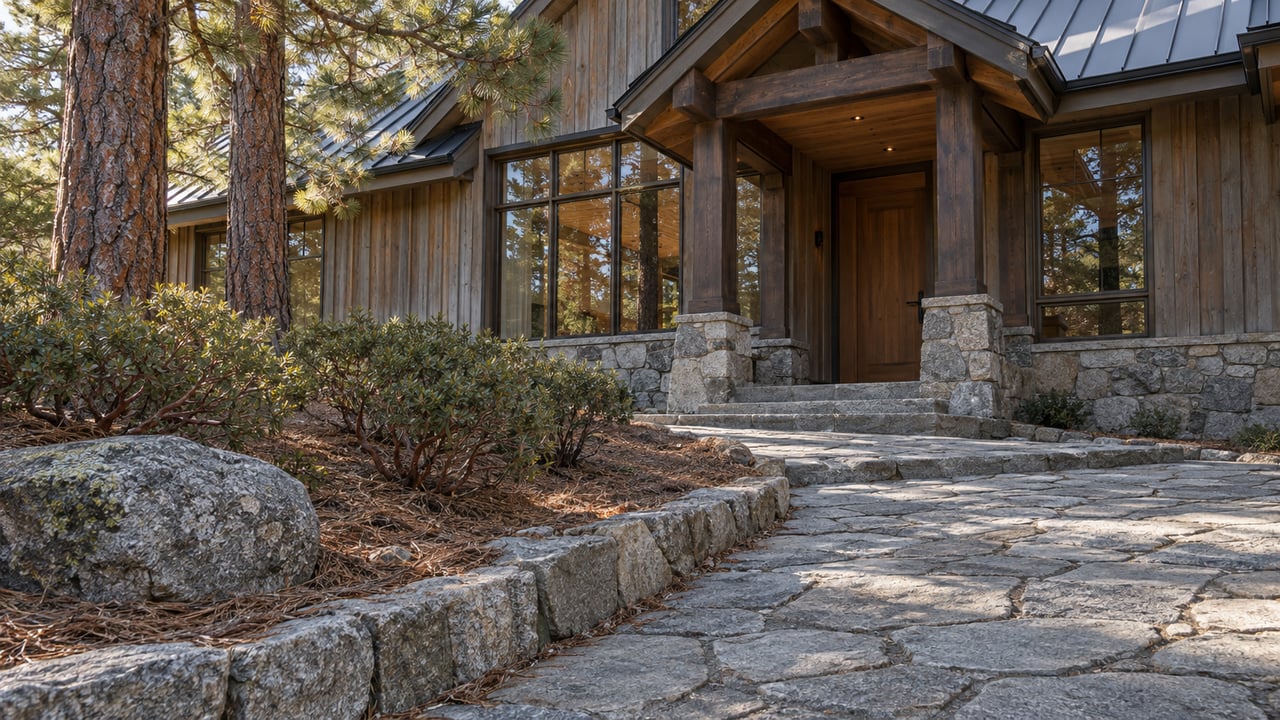
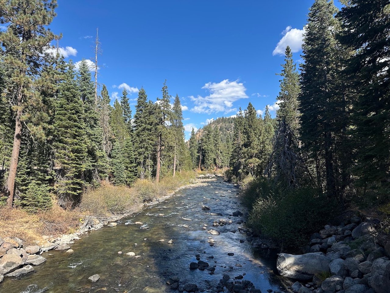
Park at the Trout Creek trail lot on Northwoods Boulevard, just past Lamplighter Way, and cross the street to a dirt road with fences on both sides. About 100 yards up there's a fork with a small Donner Lake Rim Trail sign on a post. Go left, start climbing, and the next 4 miles run west below Skislope Way through mixed conifer and big granite boulders until you reach the Truckee Donner Land Trust's picnic table at the Johnson Canyon Overlook.
Most Tahoe Donner hikers and riders treat that stretch as a ridge trail out the back of the neighborhood. It was planned as something bigger. The Land Trust is building the Donner Lake Rim Trail to circle Donner Lake along its peaks and ridgelines, eventually covering more than 23 miles. The part that starts on Northwoods is the finished north half. The south half is being built right now on the ridge across the lake.
The Truckee Donner Land Trust's trail page says 12 miles of the planned 23 are built and open to the public. The Land Trust and volunteers built most of it, with help from the U.S. Forest Service, Tahoe Donner, the Truckee Trails Foundation, California State Parks and the California Conservation Corps.
Going east to west from Northwoods, here's how it unfolds:
That's a lot of climbing from a trailhead a few minutes from most Tahoe Donner driveways. The Wendin Way trailhead at Johnson Canyon sits at about 6,500 feet, and the Castle Valley Road parking area at Donner Summit sits at about 7,300 feet.
The Land Trust started building the southern stretch in 2025. According to its Donner Lake Rim Trail campaign page, the new segment starts at the JP Trail in Coldstream Canyon and follows the crest of Schallenberger Ridge. Donner Lake is on one side and the granite cliffs of Coldstream Canyon are on the other. The route then crosses Lakeview Canyon, climbs Mount Judah through Sugar Bowl and continues to the Land Trust's Royal Gorge open space.
The Land Trust's August 19, 2026 project update said contractors had finished about 4 miles of non-motorized multi-use trail along Schallenberger Ridge, out of roughly 15 planned. The update describes what users can expect "when complete and open to the public," so the new section isn't open yet, even where it's already built. Once it opens, the update promises mature red fir forest and 360-degree views of Coldstream Canyon, the Sierra Crest and Donner Lake.
Here's how the two halves compare as of that August update:
| North half | South half | |
|---|---|---|
| Route | Northwoods Boulevard to Castle Valley on Donner Summit | Coldstream Canyon to Royal Gorge via Schallenberger Ridge and Mount Judah |
| Planned length | 12 miles, built | 12 to 15 miles on the campaign page, about 15 in the August update |
| Built so far | All 12 miles | About 4 miles as of August 19, 2026 |
| Open to the public | Yes | Not yet |
| Partners named | USFS, Tahoe Donner, Truckee Trails Foundation, State Parks, CCC | Placer County, State Parks, Sugar Bowl Resort, Tahoe National Forest |
The two Land Trust pages give slightly different lengths for the southern segment, which makes sense for a trail still being laid out on the ground. Neither page gives an opening date.
The campaign page puts the southern project at $1,000,000. Placer County has granted $565,000, and the Land Trust is raising the final $150,000. The August update also thanks Northstar California's Vail EpicPromise Grant for support. Gifts of $1,000 or more will be recognized on Donner Lake Rim Trail trailhead kiosks.
Placer County's role goes beyond the grant, and it explains why the southern half matters past Donner Lake.
The Land Trust says the southern segment will also be the easternmost stretch of Placer County's Memorial Overland Emigrant Trail, which is planned to run all the way to Auburn. The southern half also links to planned trails in Coldstream Canyon, the Pacific Crest Trail and the Land Trust's Royal Gorge trails.
On the north side, the Land Trust lists links to the Hole in the Ground Trail, the planned Pines to Mines Trail toward Nevada City, and Tahoe Donner's trail network in the Euer Valley.
Put those together and Tahoe Donner becomes a junction. The Glacier Way trailhead and the Northwoods start already connect the neighborhood's trails to the rim trail. If the full ring is built, those same access points would sit at one end of a route that circles Donner Lake, crosses Sugar Bowl's terrain to Royal Gorge and meets a county trail headed toward the Sierra foothills. The Land Trust's own description of the full trail says it will run from downtown Truckee to Donner Summit.
The southern ridge isn't open yet, so for now the rim trail means the northern 12 miles. These are the posted access points and rules that apply on the way out.
Access points
Rules on the trail and in Tahoe Donner
These rules can change, so check the posted kiosk and the association's current pages before heading out. This post is general information, not legal advice about association rules.
Volunteers built much of the north half, and that work continues. The Land Trust held a volunteer trail day there with the Donner Party Mountain Runners on May 30, 2026. The August update asks people who want to help on the southern half to watch the Land Trust's website for future volunteer days.
If you live off Skislope Way or Glacier Way and want to know which nearby lots and homes back onto the Donner Lake Rim Trail corridor, or how trail access plays into a property's value, Seth Waller has called Tahoe home since 1994 and is glad to talk it through. Contact Seth for a free Tahoe market consultation.
Contact Seth today to learn more about his unique approach to real estate and how he can help you get the results you deserve.
ADDRESS 17400 Northwoods Blvd Ste 104 Truckee CA 96161